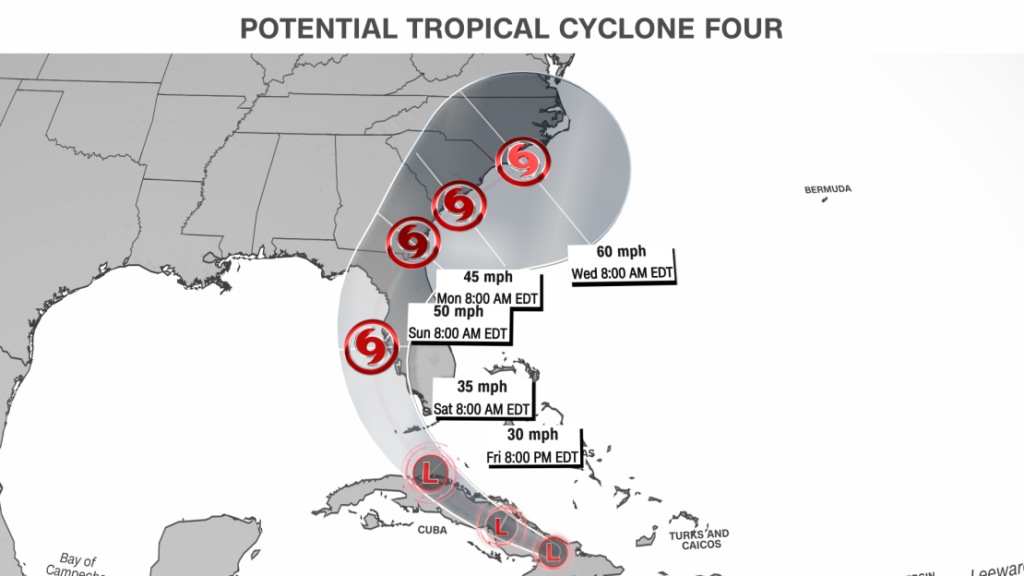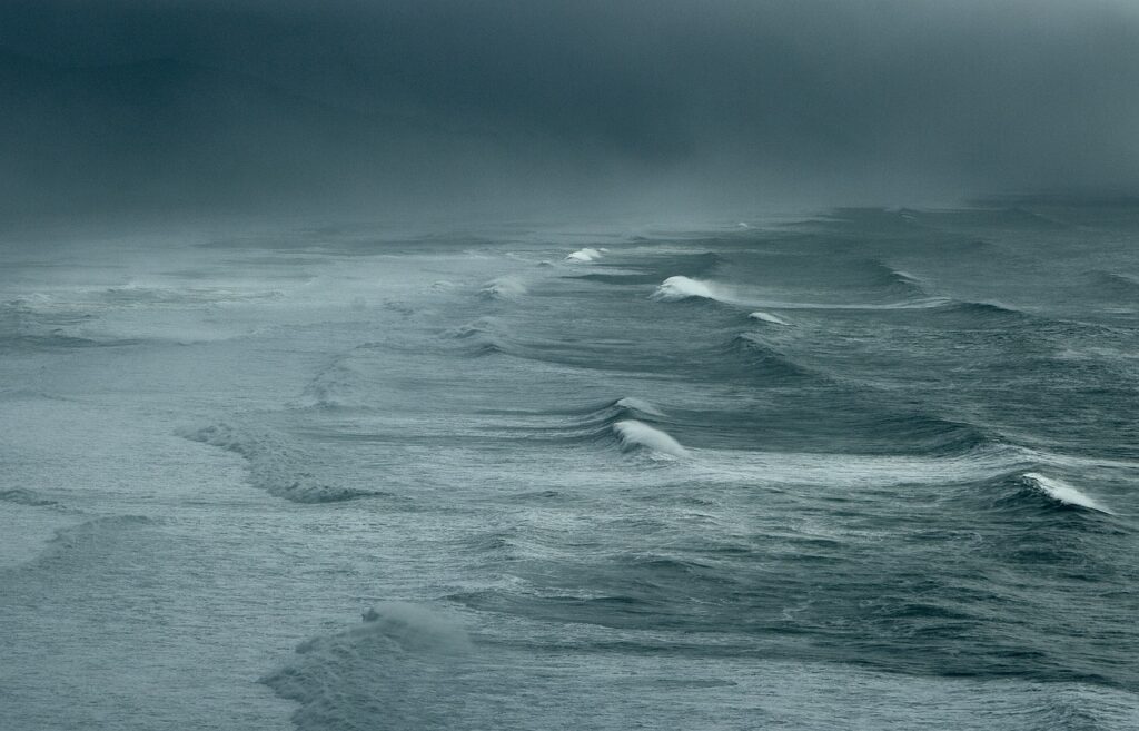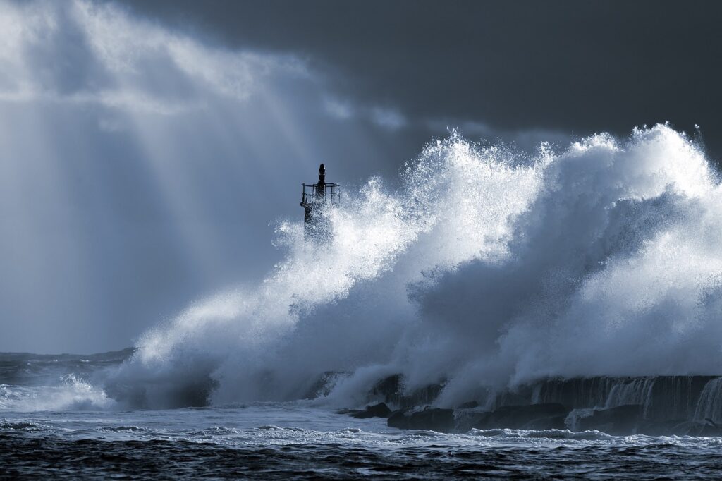
The name of the tropical storm Debby and it is heading towards Florida on the Western coast over the weekend. Another bad news for the coastal area of Florida United States as a tropical storm is heading toward the coast of Florida this weekend. Heavy rain and wind force are expected during the land-crossing period of the tropical storm.
Table of Contents
TROPICAL STORM DEBBY HEADING TOWARDS FLORIDA
The system has 30 mph winds and is going to be a potential tropical cyclone. according to the National Hurricane Centre, it is coming towards parts of Cuba and Southern Bahamas.
The tropical cyclone currently has a maximum speed of 30 mph and it needs 39 mph to get a proper Strom name.
Though all the tropical disturbances are not given the name of Storm. Will see a lot of activities in the Gulf of Mexico and the Atlantic this year but all are not given a storm name.
You may also like: MASHCO PIRO THE LARGEST ISOLATED TRIBE MADE A RARE APPEARANCE
But according to CNN, it is going to be a tropical depression by Saturday morning. And once it crosses the water between Cuba and Florida it will get strength and will transfer into tropical Storm Debby by Saturday evening.
“Since the forecast track is almost parallel to the west coast of the Florida Peninsula and the southeast coast of the US, only a small change in the track could lead to large changes in which land areas receive any landfalls and the biggest impacts,” the National Hurricane Center cautioned Friday.
You all know that nowadays the Atlantic Ocean has been one of the most important reasons of destruction as it is creating a lot of tropical storms cyclones hurricanes and the number is increasing day by day.
Just a few weeks before United States of America faced a destructive hurricane named Beryl. The destruction was unexplainable because that cyclone was a monster with a speed of over 160 mph. So you can imagine the destruction.
The question is why the amount of cyclones, increasing day by day. Is it the reason for global warming and the increase of temperature in the ocean water?

Natural Factors:
1. Sea Surface Temperatures:
Warm Sea surface temperatures are the necessary fuel for the development and strengthening of tropical cyclones and hurricanes. As the surface of the ocean warms, it releases that heat into the atmosphere where warm conditions are conducive for severe storms to begin and intensify.
2. Atmospheric Instability:
The presence of atmospheric instability can help create storm systems, since temperature differences and wind shear work to destabilize the atmosphere and trigger storms. This causes enormous thunderclouds to grow vertically, leading in not an awful lot of fashion for hurricanes and cyclones.
3. Coriolis Effect:
The Coriolis effect (a product of the Earth’s rotation) is an important factor in cyclones and hurricanes. Air moving towards a low-pressure area rotates due to the Coriolis effect, forming a cyclonic circulation that provides the necessary structure for these weather systems to grow.
4. Tropical Ecosystems:
The Atlantic Ocean is rich in warm, tropical ecosystems such as the Gulf of Mexico and the Caribbean Sea that create ideal conditions for storm formation. Due to their favourable humidity levels, a warm current from oceans and low wind shear at the great heights in these regions there is a higher chance of cyclone/hurricane production and enhancement.

Human-Induced Factors:
1. Climate Change:
The warming of the Earth’s climate due to human activities, such as Greenhouse Gas emissions (GHGs) and has led to more storms, cyclones and hurricanes. Drivers of Tropical Cyclones with Global Warming The sea, warming up.(Source: Vicky Bellino/CSC NOAA)Warmer seas due to global temperatures have made storm formation and intensification more favourable.
2. Changes in The Ocean:
Human-induced changes to the ocean, like increased acidity or altered circulation patterns, can affect how a storm develops. These changes may impact the availability of nutrients and alter ocean currents, potentially affecting storm intensity and track.
So all the people from the location are requested to kindly keep watching and tracking the storm and stay safe and one should be updated about the path of the storm and we have a little request please try to help one another as this kind of situation needs help. so try to stay in a safe place.